Telesto Geostationary Antenna System
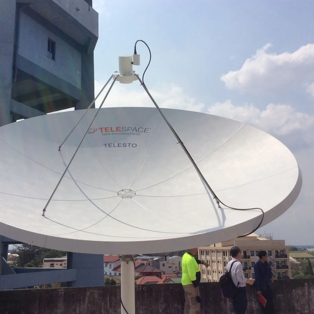
Telesto is a permanent, turnkey geostationary ground station for receiving and processing meteorological satellite data for forecasting and research. It covers GOES East and West, the Japanese MTSAT, the Chinese FY-2 and the Korean COMS satellite systems.
- Satellites supported
- GOES East, GOES West, MTSAT, FY-2, COMS
- Data formats
- HDF, NetCDF, Level 1B
- Ancillary data sources
- GRIB, Synops
Overview
In detail
How it works
Telesto receives weather and atmospheric data from meteorological satellites and processes it into image files, covering GOES East and West, the Japanese Meteorological Agency's MTSAT, the Chinese Meteorological Administration's FY-2 and the Korea Meteorological Administration's COMS satellite.
What's included
The system is supplied as a complete turnkey package: manufacturing, engineering, installation and training are all provided, along with all hardware and software needed to collate and analyse the meteorological data.
Data processing
Telesto reads common satellite data formats including HDF, NetCDF and Level 1B, and integrates ancillary data sources such as GRIB and Synops. Built-in analysis tools include the Dvorak technique, topography overlays, and zoom/pan review, along with Level 2 product generation such as sea surface temperature and cloud classification.
Reach out and say hi
Specifications
Technical specifications
- Satellites supported
- GOES East, GOES West, MTSAT, FY-2, COMS
- Data formats
- HDF, NetCDF, Level 1B
- Ancillary data sources
- GRIB, Synops
- Analysis tools
- Dvorak technique, topography overlays, zoom and pan
- Level 2 products
- Sea surface temperature, cloud classification
Related
Often specified alongside
Weathertech
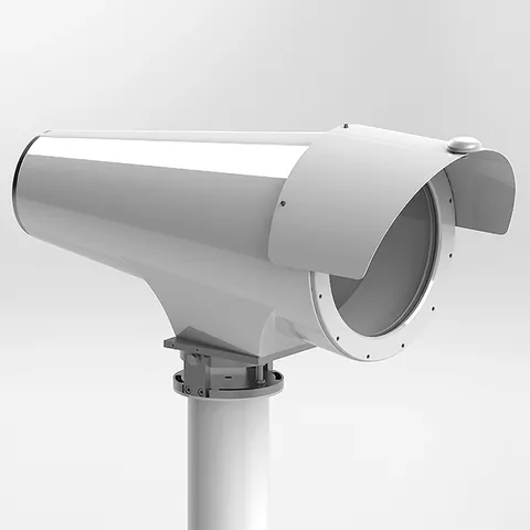
X-LAS MkII Scintillometer
- Path length
- 1 to 12 km
- Dimensions
- 1010 x 552 x 426 mm (with sunshield) 18,75 kg
- Wavelength
- 850 nm
- Range
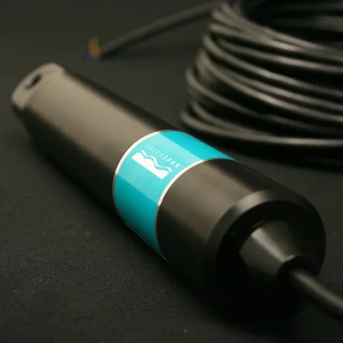
- 0-100,000 µS/cm ±2%
Ready to specify?
Add Telesto Geostationary Antenna System to your enquiry
Build a list, add your site notes, and an ESS engineer will quote the lot — cables, mounting and calibration included.